File:Map Divided Kingdoms Israel.jpg
From Conservapedia

Size of this preview: 369 × 598 pixels. Other resolution: 148 × 240 pixels.
Original file (1,095 × 1,776 pixels, file size: 162 kilobytes, MIME type: image/jpeg)
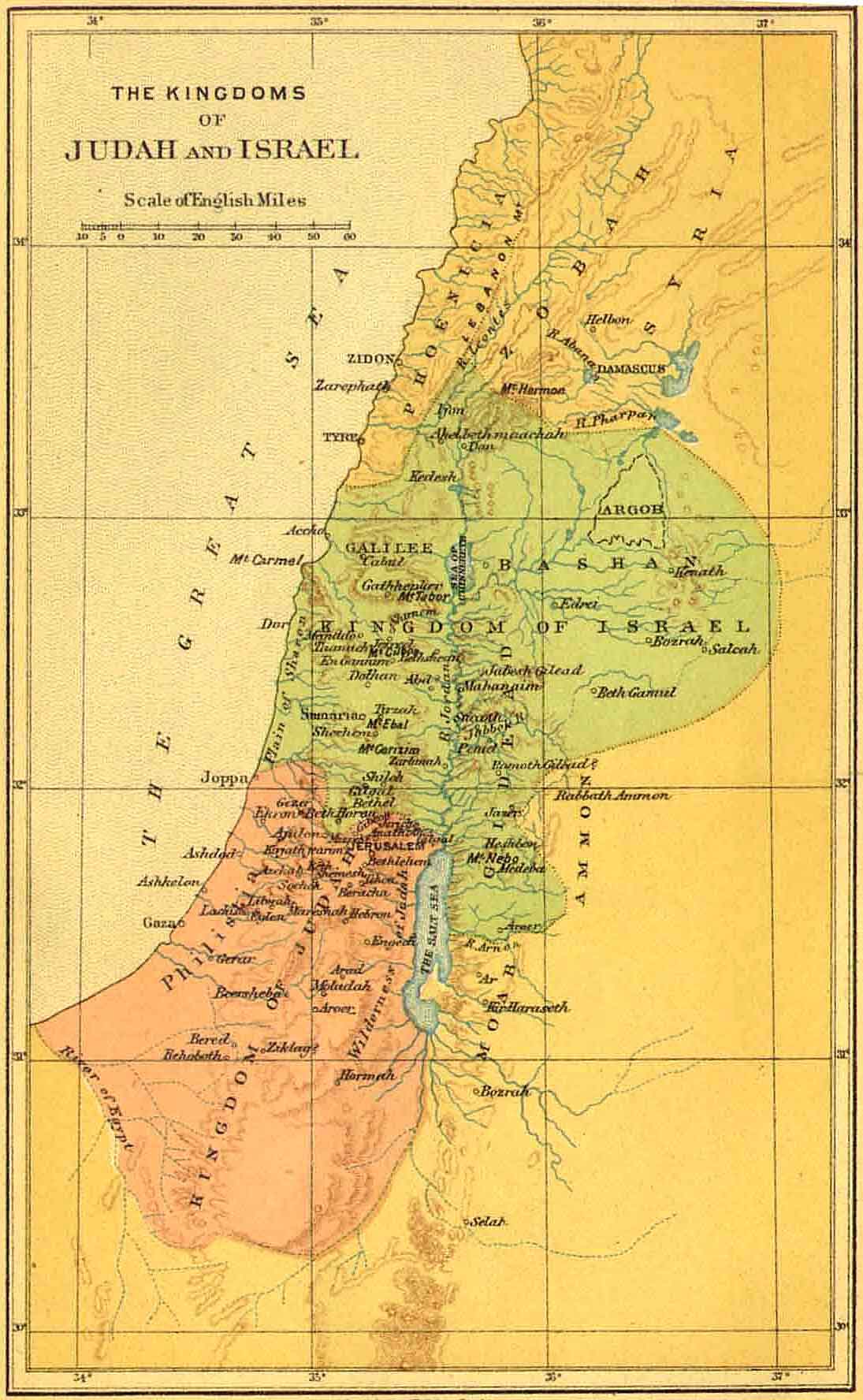
Map showing the territories of the Divided Kingdoms Northern and Southern.
Copyright Status
This public domain image is of a map originally published by the American Bible Society.
Source
File history
Click on a date/time to view the file as it appeared at that time.
| Date/Time | Thumbnail | Dimensions | User | Comment | |
|---|---|---|---|---|---|
| current | 19:45, June 3, 2007 | | 1,095 × 1,776 (162 kilobytes) | TerryH (Talk | contribs) | Map showing the territories of the Divided Kingdoms Northern and Southern == Copyright Status == This public domain image is of a map originally published by the American Bible Society. == Source == http://www.sacred-texts.com/bib/maps/img/004.jpg |
| 19:42, June 3, 2007 |  | 100 × 162 (7 kilobytes) | TerryH (Talk | contribs) | Map showing the territories of the Divided Kingdoms Northern and Southern. == Copyright Status == This public domain image is of a map originally published by the American Bible Society. == Source == http://www.sacred-texts.com/bib/maps/tn/004.jpg |
- You cannot overwrite this file.
File usage
The following 2 pages link to this file: